
On a quick jaunt into New Orleans City Park’s Couturie Forest, I thought of a term I remember hearing in my youth: riprap. Riprap is “loose stone used to form a foundation for a breakwater or other structure.” That’s what my dad called the broken concrete that lines the shores of Lake Pontchartrain. The levee that rings the south shore of this brackish lake was just a two-block walk from the house where I grew up, so I spent much of my childhood around riprap.
I think the word is still in use, I just don’t hear it much anymore. Perhaps because my day-to-day life does not involve constructing shoreline structures. (More’s the pity.) And the purpose of this post is not to share any deep observation about figurative, or metaphoric, riprap. I’m coming up empty, there. So instead, I thought I might share a few details about Laborde Mountain.
Laborde Mountain sits within City Park’s Couturie Forest, and the Internet tells me it was made from riprap derived from the construction of nearby Interstate 610. (Which, coincidentally, is the Interstate that is overpassing in the title of my novel, The Incident Under the Overpass.) The peak of Laborde Mountain is 43 feet above sea level, and is the highest point in the city of New Orleans.
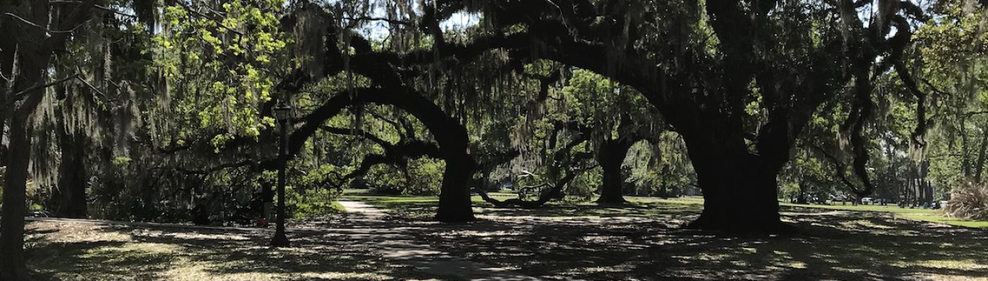
Here are some pictures, where you can see the interesting composition of riprap around here. That’s it for today!


43 feet above sea level is the highest point in New Orleans? That’s a flat city!
Take care, Anne —
Neil
LikeLiked by 1 person
Neil, there is much truth in the song “New Orleans is Sinking”…
LikeLiked by 1 person